 Printing
a Land Survey Summary
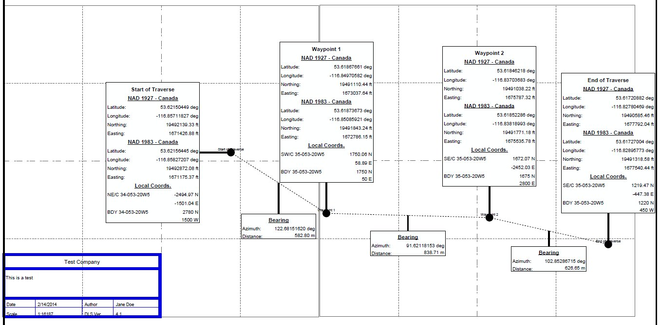
Once the Land Survey Summary job has been successfully processed, you may preview the output, by clicking on the Output Preview tab.
![]() Zoom In - Click on the map to perform a fixed zoom in on the clicked location. (Rolling the mouse wheel over the map can also be used to zoom when in any tool. )
Zoom In - Click on the map to perform a fixed zoom in on the clicked location. (Rolling the mouse wheel over the map can also be used to zoom when in any tool. )
![]() Zoom Out - Click on the map to perform a fixed zoom out from the clicked location. (Rolling the mouse wheel over the map can also be used to zoom when in any tool.)
Zoom Out - Click on the map to perform a fixed zoom out from the clicked location. (Rolling the mouse wheel over the map can also be used to zoom when in any tool.)
![]() Zoom To Rectangle - Drag a rectangle on the map to zoom to that extent.
Zoom To Rectangle - Drag a rectangle on the map to zoom to that extent.
![]() Pan - Click and drag to move across the map. Click and drag of the mouse wheel can also be used to pan when in any tool.
Pan - Click and drag to move across the map. Click and drag of the mouse wheel can also be used to pan when in any tool.
![]() Recenter - The cursor will display a recenter icon. Click on the map to recenter at the clicked location.
Recenter - The cursor will display a recenter icon. Click on the map to recenter at the clicked location.
![]() Reset Map - This will reset the map to the full extent of the data.
Reset Map - This will reset the map to the full extent of the data.
![]() Go To Previous View - Use this back button to move back through previous zoom levels and locations
Go To Previous View - Use this back button to move back through previous zoom levels and locations
![]() Go To Next View - After using the Go To Previous View button, the Go To Next View button will move forward again through stored map navigation.
Go To Next View - After using the Go To Previous View button, the Go To Next View button will move forward again through stored map navigation.
![]() Save the Current Map Out to GeoSpatial PDF - Export the Land Survey Summary layout to a pdf file. See below for more information.
Save the Current Map Out to GeoSpatial PDF - Export the Land Survey Summary layout to a pdf file. See below for more information.
From there, click the
![]() button to export the report to a standard PDF file, or a GeoSpatial PDF.
button to export the report to a standard PDF file, or a GeoSpatial PDF.

For more information about the available Geospatial PDF settings see Geospatial PDF