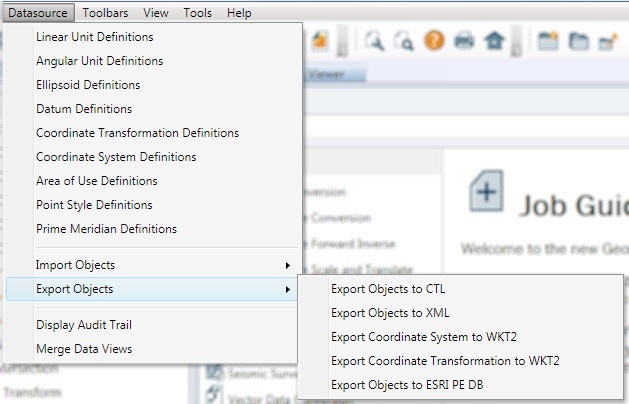
Export Coordinate Systems to WKT2
To export Coordinate Systems to a Well Known Text 2.0 (WKT2) file:
-
Go to Datasource > Export Objects > Export Coordinate Systems to WKT2
-
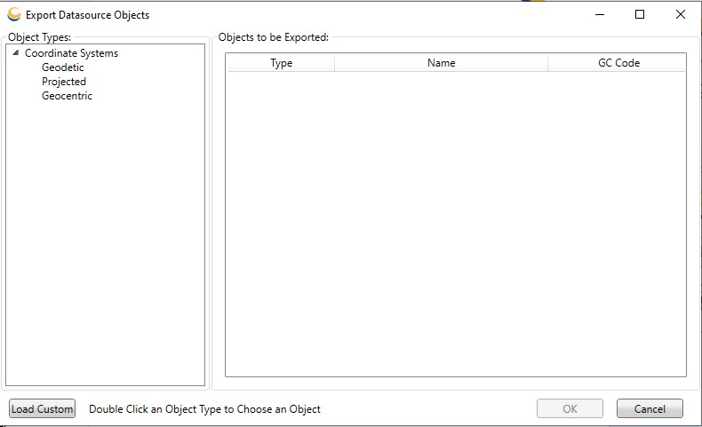
This will launch the Export Datasource Objects dialog:
-
Double clicking on a coordinate system type listed in the left-hand pane will open an Export Object Picker dialog:
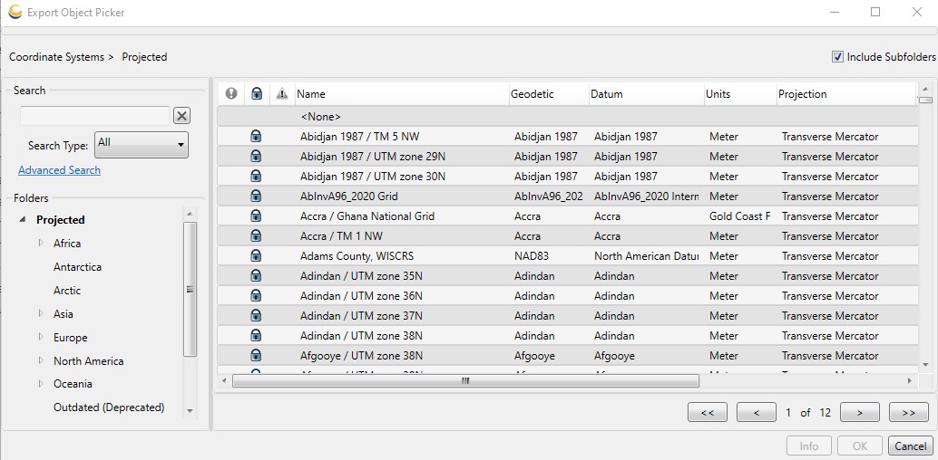
In the Export Object Picker select the coordinate systems you would like to export and click OK. These objects will then be added to the list in the Export Datasource Objects dialog. If you wish to export an object that relies upon other objects (for example, a Geodetic Coordinate System that uses a new Horizontal Datum), you need only mark the "top-most" object (in this case, the Geodetic Coordinate System) for export. Exporting an object will export all objects it relies upon, so that if the file is later imported all objects will be fully defined.
-
Right-clicking on a coordinate system in the Export Datasource Objects dialog will provide a menu with a few options:
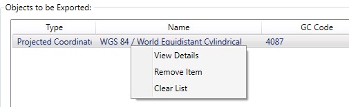
View Details – This will open the Coordinate System Viewer for the selected coordinate system.
Remove Item – This will remove the selected item from the list of objects to be exported.
Clear List – This option will clear the list of objects to be exported.
-
When you have added all the coordinate systems you would like to export to the Export Datasource Object dialog, click OK.
-
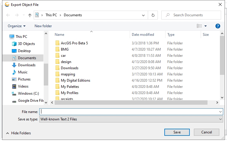
This will being up a Select Output File dialog. Provide a destination file for the export and click OK to complete the export process.