To access
the Geodetic Coordinate System Viewer, right-click in a blue System box
found in the Conversion Settings of the job interface and select Info. The Geodetic Coordinate System
Viewer contains information on the system's Identification, Definition
and History.
Identification
The Identification tab (below) contains fields with coordinate system name,
pertinent remarks and other identifiers used for the system. At the bottom
of the window is the last revision date for the selected system.

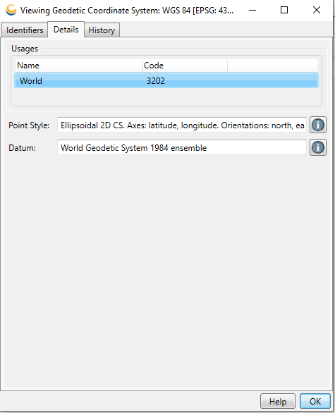
Details
The Details tab (below) contains links (the blue 'i' button) to additional
information on the Area of Use![]() An area of use is a polygon that defines the applicable extent of an object in the datasource, such as a coordinate reference system or transformation.They are defined as both a polygon and a minimum bounding rectangle in Latitude / Longitude coordinates in WGS84., Point
Style
An area of use is a polygon that defines the applicable extent of an object in the datasource, such as a coordinate reference system or transformation.They are defined as both a polygon and a minimum bounding rectangle in Latitude / Longitude coordinates in WGS84., Point
Style![]() The angle between magnetic north and true north. There are multiple models of magnetic declination which can be selected in preferences., and Datum
The angle between magnetic north and true north. There are multiple models of magnetic declination which can be selected in preferences., and Datum![]() A Datum is the base model that maps are built on. All coordinate systems must have a datum associated with them to be related to any other map. Without a known datum, coordinates are meaningless. used to define
the selected system.
A Datum is the base model that maps are built on. All coordinate systems must have a datum associated with them to be related to any other map. Without a known datum, coordinates are meaningless. used to define
the selected system.

See Area of Use, Point
Style, and Datum for more information on these dialogs.
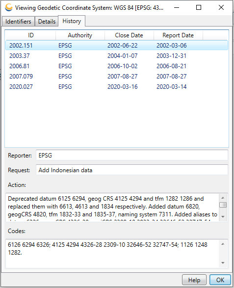
History
The History tab (below) contains a revision history for the selected system.
