Custom Geoid
Custom Geoids
may be created from elevation grid data in the Global
Mapper application. The grid is exported from Global Mapper to the
Elevation Grid Format 'Blue Marble Gridded Data' (.bgd). The BGD file
may then be imported for use into the Geographic Calculator by creating
a new vertical transformation for the custom Geoid. Using a custom
geoid in the Geographic Calculator application will require access to
Global Mapper v16 or later and the Geographic Calculator v2015 (or later).
To procure the BGD file from the Global Mapper application, load
the elevation grid data into Global Mapper. Then, to export
the data from Global Mapper, go to File > Export Elevation Grid Format...
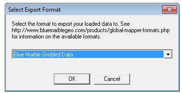
and in the 'Select Export Format menu, select 'Blue Marble Gridded Data'
from the drop down menu.

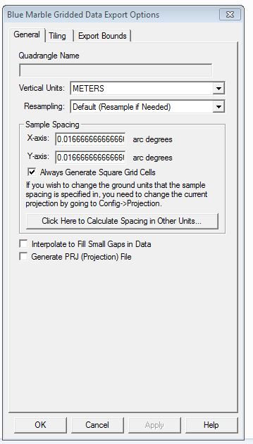
The Blue Marble Gridded Data Export Options dialog will populate, where
you may name the quadrangle, define the vertical units and select a resampling
method, elect to generate a PRJ or interpolate to fill gaps.

Once the elevation grid/custom geoid has been exported BGD file and added to the Geographic Calculator application as a new, custom vertical transformation, this will be available when selecting a Coordinate Transformation.