Advanced drone/uav analysis, machine learning, and automatic point cloud classification & analysis
Explore Pro
Global Mapper 27 is here. Geodetic accuracy, built into every workflow.
Trusted by professionals around the world.

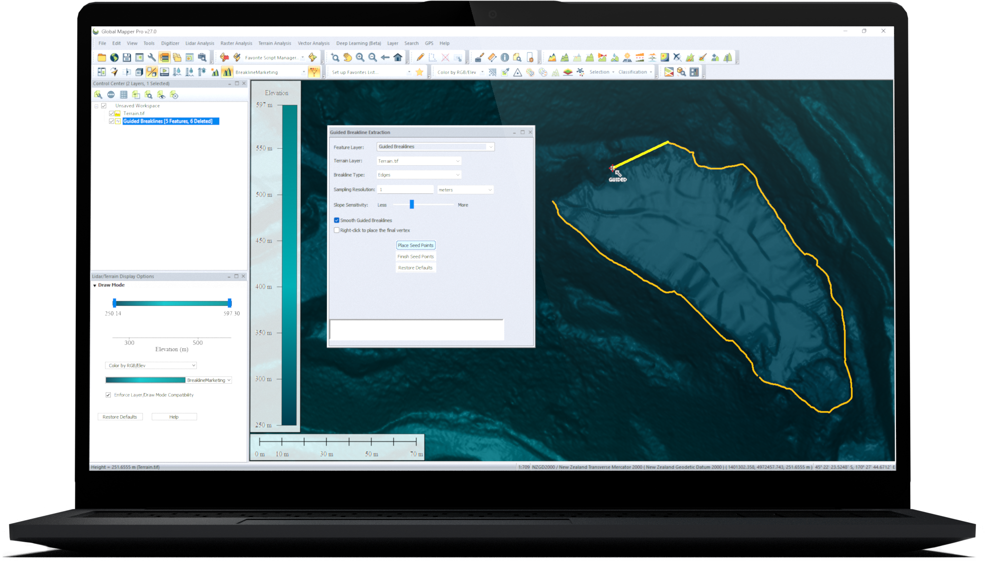
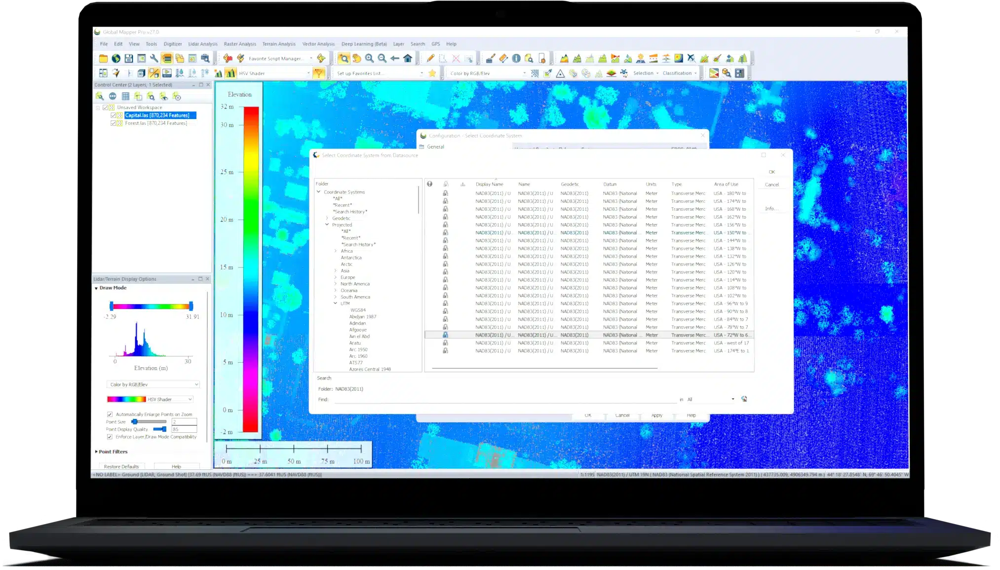


The all-in-one GIS software offers a comprehensive collection of tools for terrain creation, editing, 3D analysis, lidar processing, photogrammetry, Python scripting, machine learning and much more.
Start Your Free TrialFrom analysis to real-world execution, do more with GeoCalc integrated directly into Global Mapper, bringing geodetic accuracy to every workflow.
Start A TrialBecome a certified
Global Mapper professionalJoin your fellow GIS professionals for an interactive hands-on online course today!
Learn About CertificiationFree monthly webinars focusing on particular aspects of Blue Marble Geographics' GIS and geospatial software products.
Explore Webinars
